Routes · Hapjeong, Mapo-gu
Mangwon · Han River · Seonyudo.
망원 · 한강 · 선유도
My home-ground route. Start in the city, jump into complete greenery, cross two bridges and end up on a hidden island park most Seoulites have never visited.
- Distance
- 12.3 km
- Elevation
- 118 m
- Difficulty
- Easy
Course map
The route, on the actual map.
GPS-recorded track with points of interest along the way. Click any marker for the local context: water, toilets, CV stores, bridge crossings, photo spots.
- Distance
- —
- Elevation gain
- —
- High / low
- —
Loading map…
Hover the route or the elevation chart
- Distance
- —
- Elevation
- —
- Grade
- —
Other distances
The default 12 km loop: Hapjeong → Mangwon → Yanghwa-daegyo crossing → Seonyudo Park → back. The full character of the route at a sane distance.
Also showing:
Restrooms, water fountains, and convenience stores near the route come from official Korean public open data (Seoul Open Data Plaza and data.go.kr). Hours can change, so treat them as a guide.
12.3 km +118 m Easy
How it runs
The route, in five parts.
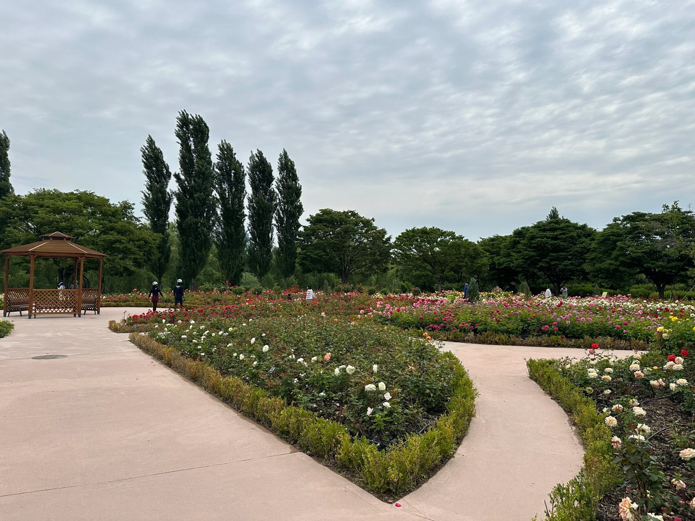
My home ground, the route I run more than any other. You start in the city, then within about ten minutes jump into wide, easy greenery that is rarely busy even at peak season. Cross two great bridges, see both edges of the river, and end up on Seonyudo Park, an old water-filtration plant the city turned into an ecological island. It sits in the middle of a road bridge, so most Seoulites never realise it is there. The rose garden alone is worth the run.
Run the main 12 km loop, or pick a variant: 17 km via Mapo, a tighter 16 km Yeouido focus, a 28 km Sangam long for marathon weeks, or the Hangang Bus version, ride out to Yeouido and run back. Same start, same POIs.
- 01
Hapjeong start, drop down to the river
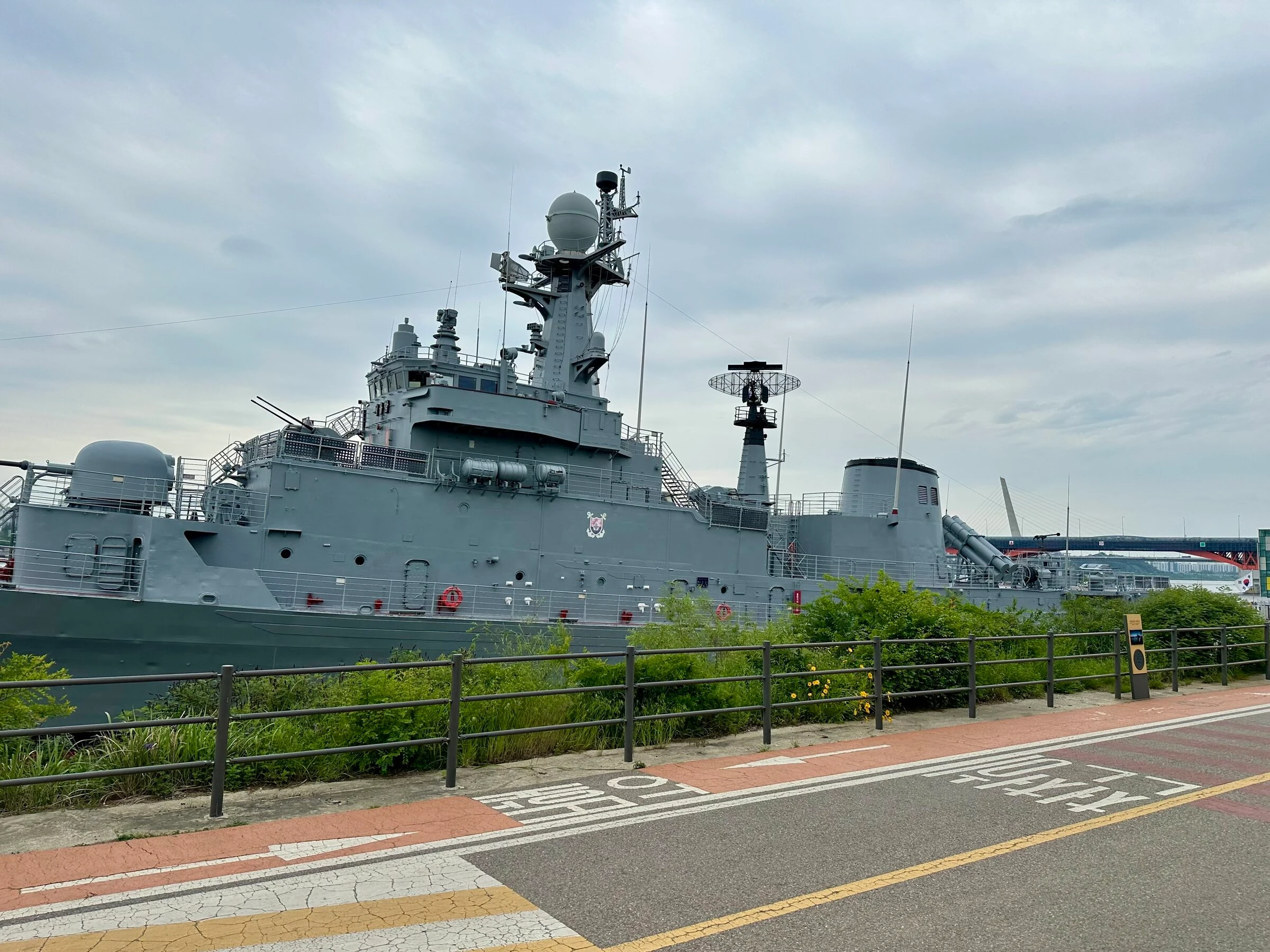
We meet at Hapjeong-dong, two minutes from Hapjeong Station Exit 7, and drop into Mangwon Hangang Park through the underpass beside the preserved ROK Navy ship.
- 02
West along the north bank
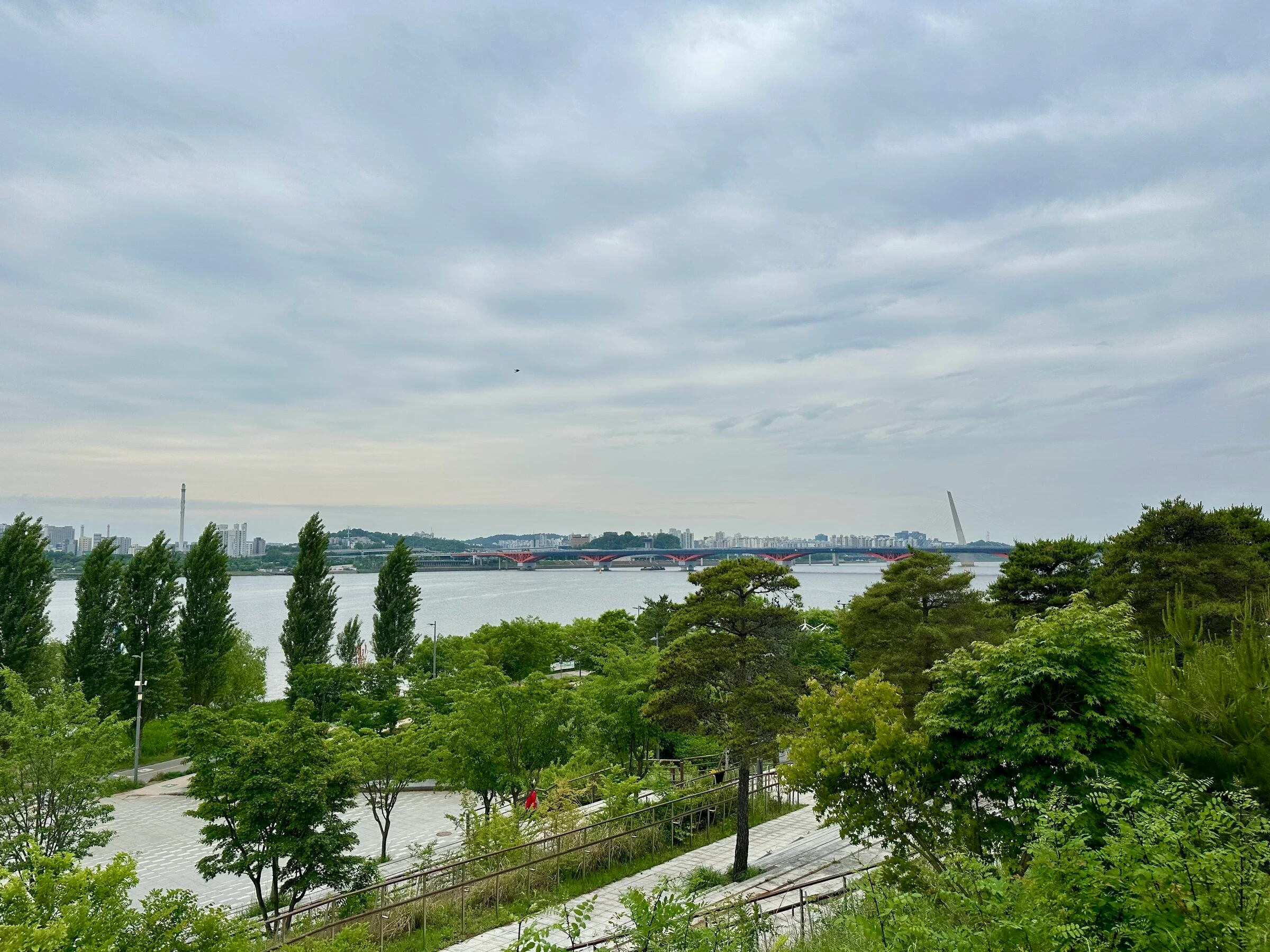
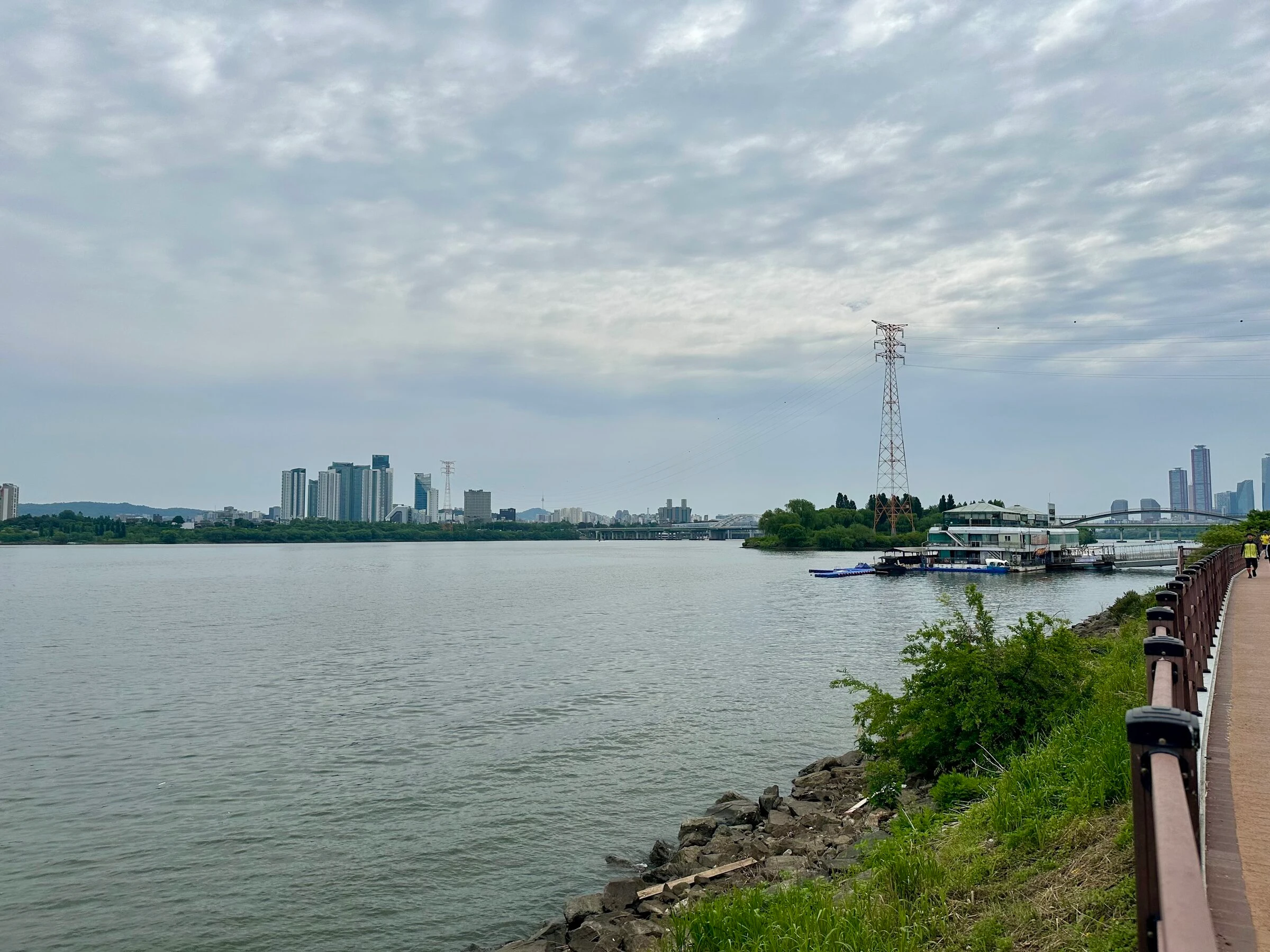
Five kilometres of flat, paved, mostly car-free running, river on the left and dense foliage on the right, amenities every kilometre or two. The stretch that does not feel like Seoul any more, rarely crowded even on a peak-season weekend.
- 03
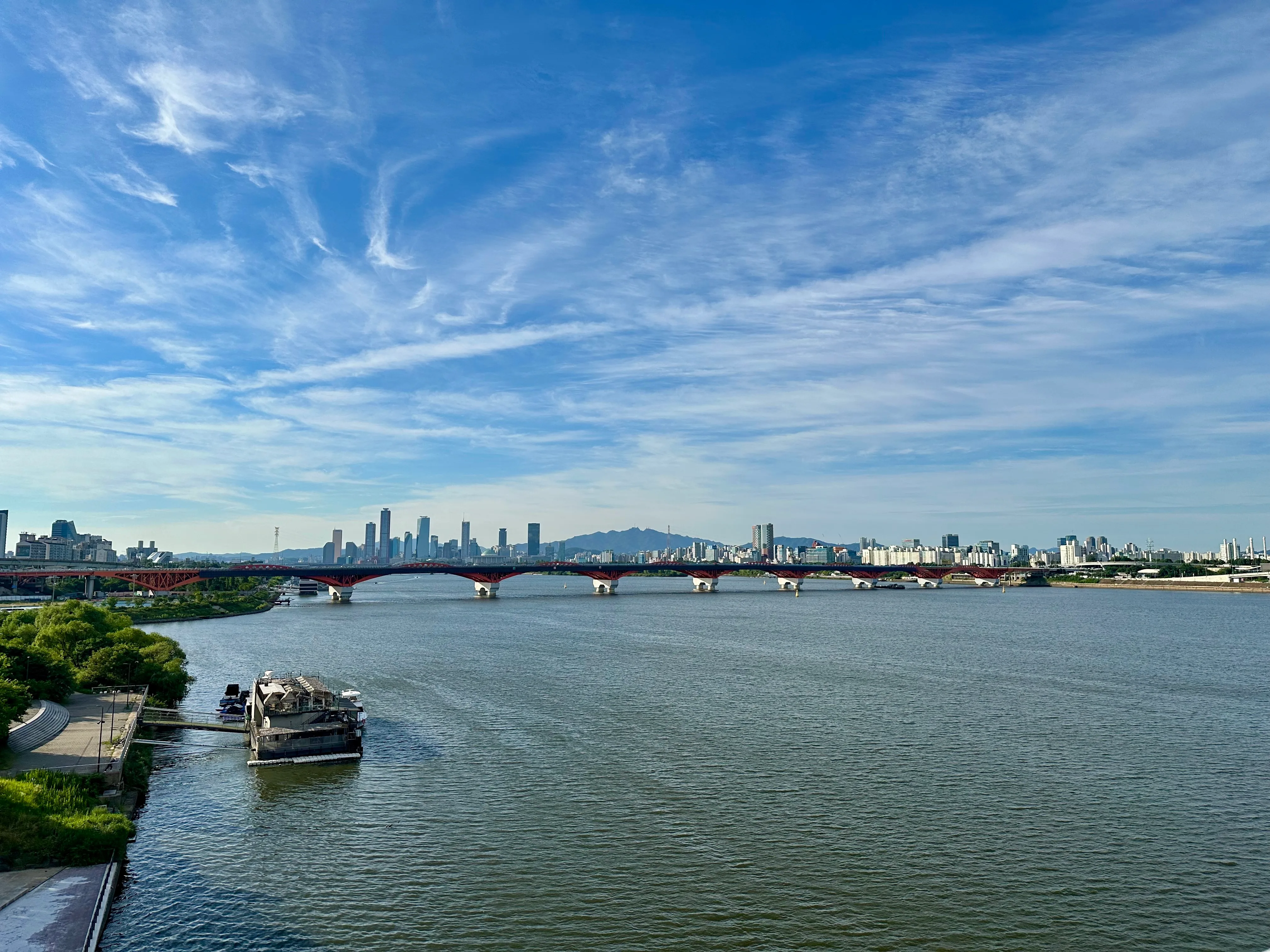
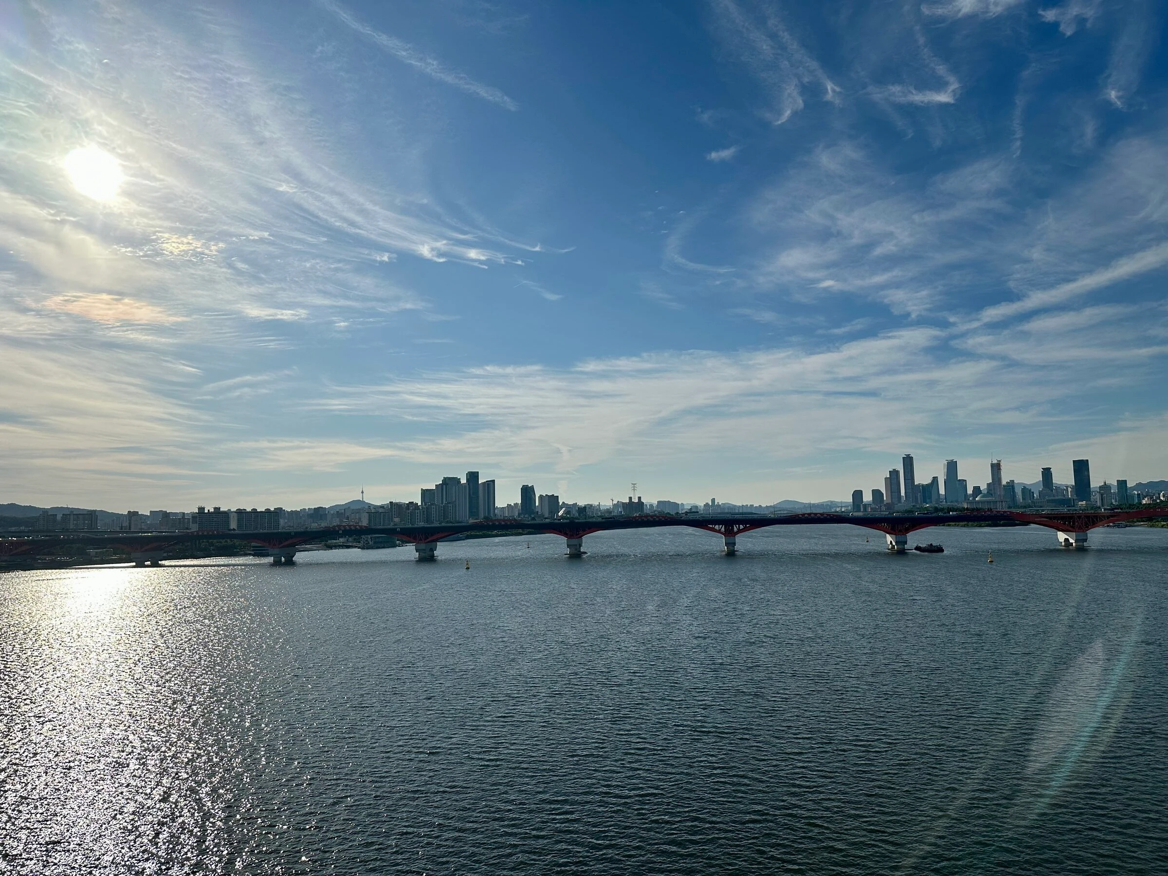
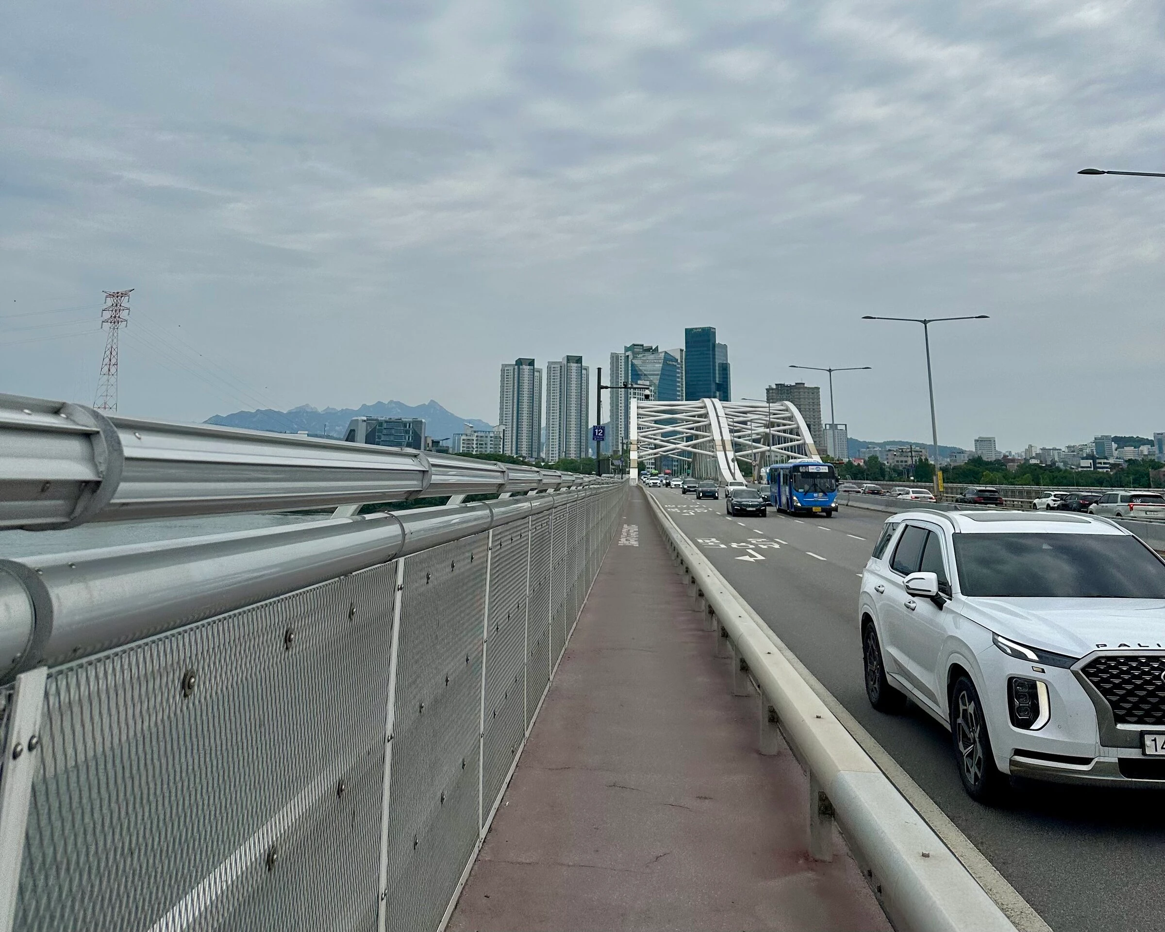
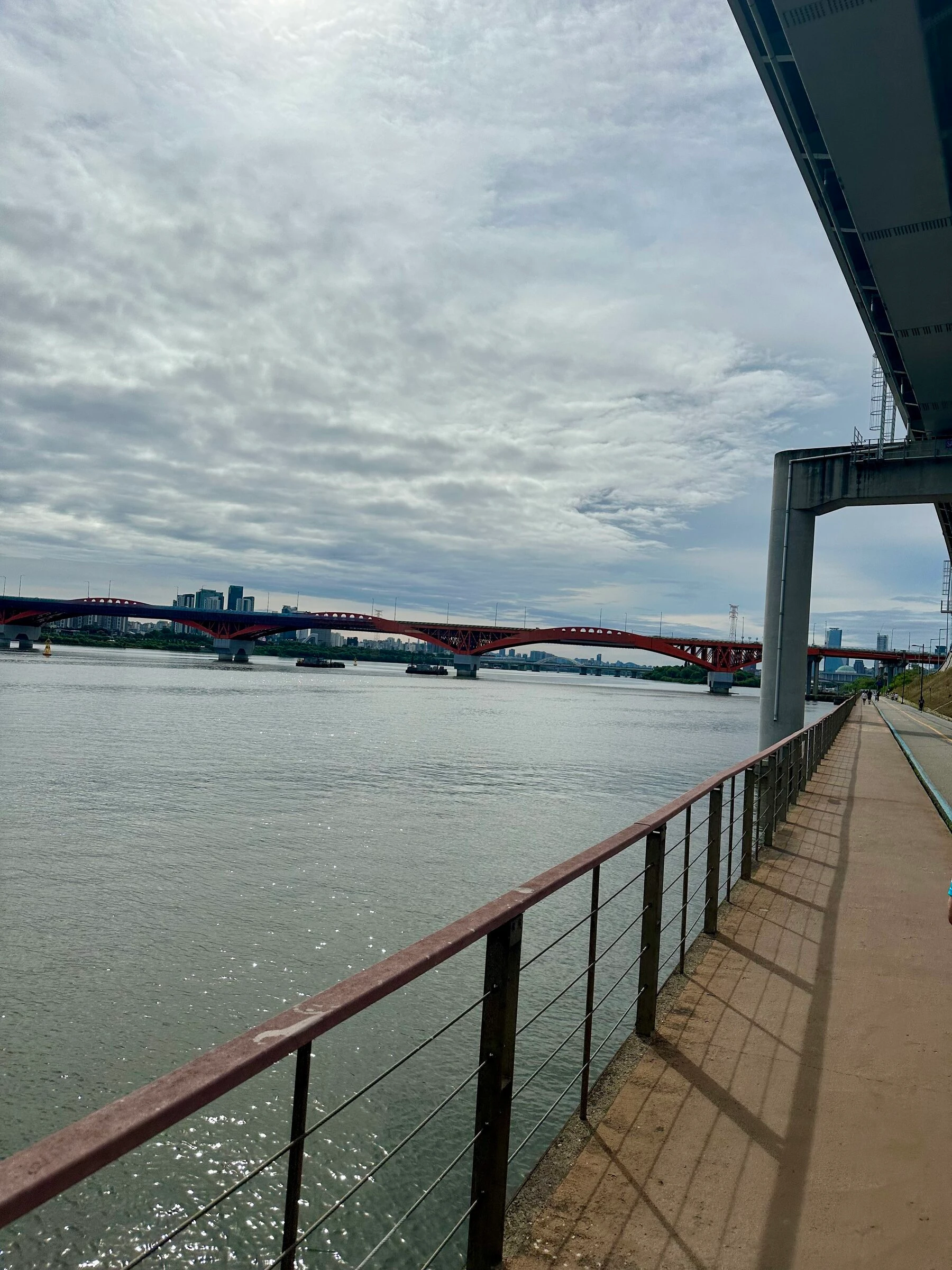
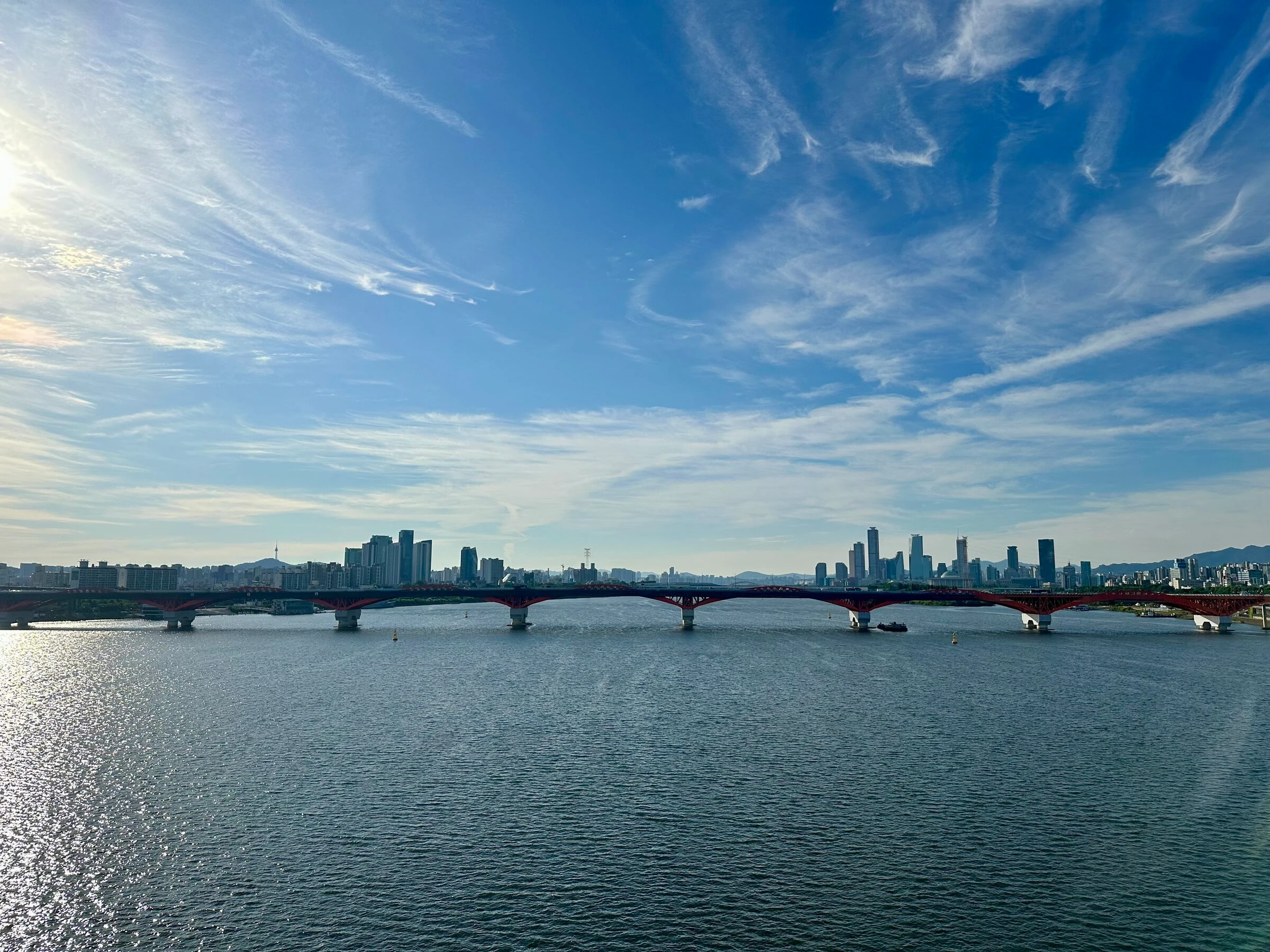
Cross Yanghwa-daegyo to the south bank
Up Yanghwa-daegyo on the pedestrian deck, skyline opening on both sides. The longer variants keep west before crossing; the main 12 km turns here.
- 04
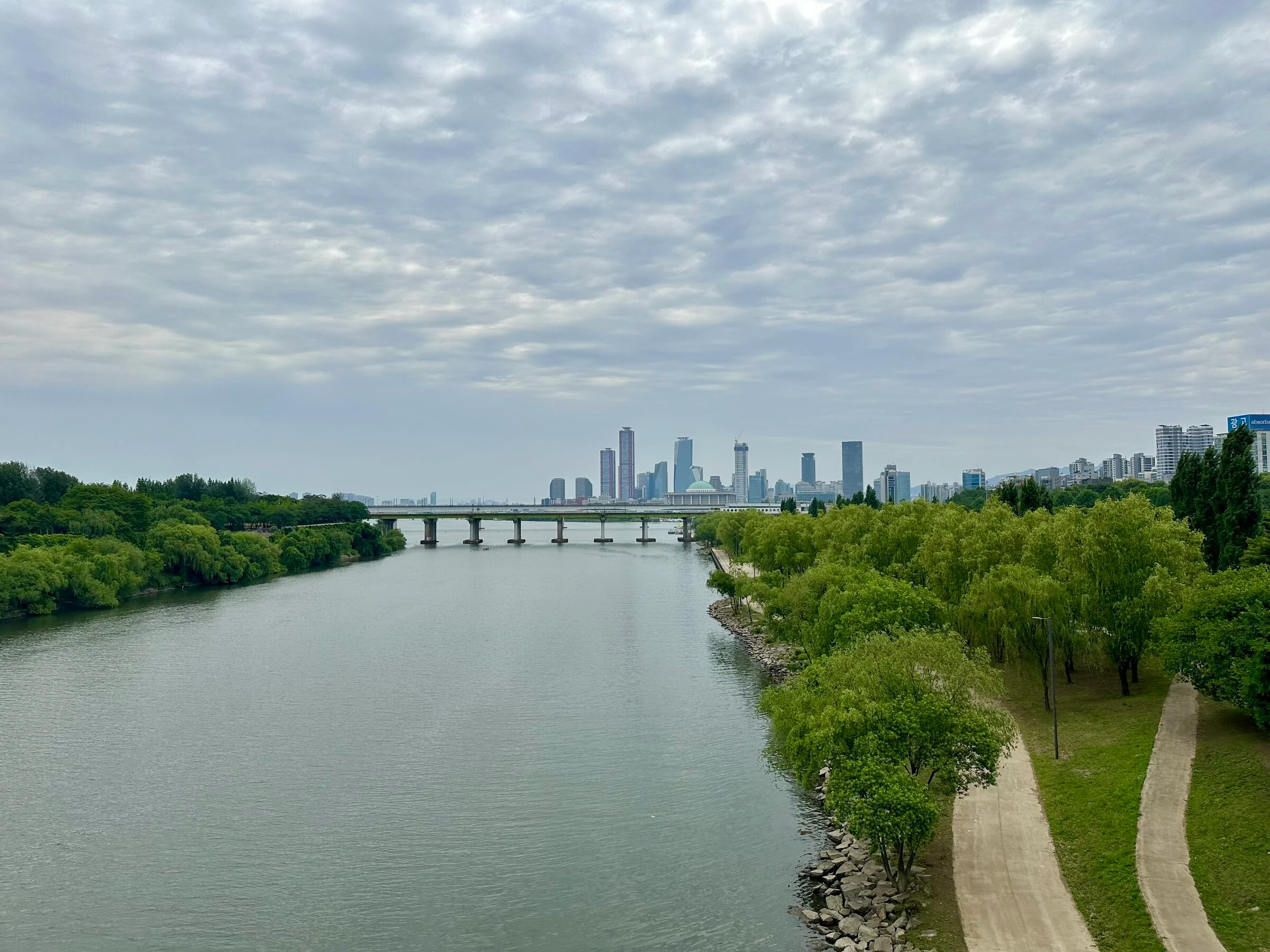
Seonyudo Park, the hidden island
Drop off Yanghwa-daegyo onto Seonyudo: rose garden, gazebos, interpretive trails through industrial ruins, views back across the river.
- 05
Back to Hapjeong
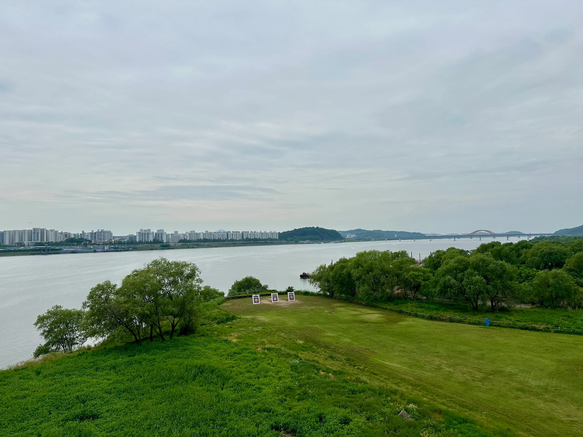
Back across to the north bank and the path home, coffee at the Mangwon CV cluster. The 12 km loop closes here; longer variants keep west to Sangam and the Nanjido archery range bridge before heading back.
Facts
Numbers, surfaces, fountains, toilets.
The things you actually want to know before you head out.
- Default distance
- 12.3 km (main loop)
- Variants
- 12 / 13 / 16 / 17 / 28 km plus Hangang Bus
- Elevation gain
- +118 m (main), mostly bridge approaches. Yanghwa-daegyo and the Seonyudo crossing both have elevators to skip the stairs.
- Surface
- Paved path plus bridge deck
- Traffic exposure
- None on the river path; bridge decks separated from road traffic
- Shade
- Decent first ~7 km along the river, exposed on the bridge decks, on-and-off the rest.
- Water fountains
- Hapjeong, Mangwon (multiple), Yanghwa, Yeouido (multiple), Seonyudo
- Toilets
- Hapjeong, Mangwon (multiple), Yanghwa, Yeouido (multiple), Dangsan
- Convenience stores
- Mangwon (cluster with Starbucks), Yeouido, Sangam (longer variants)
- Transit
- Subway Line 6, Hapjeong (start & finish)
When to run it
Best time, best season, the honest caveats.
Best time of day
Early morning before 8am has the river path almost to itself. Late afternoon into evening is the second-best window, when the open stretch toward Sangam catches a long golden hour in spring and autumn.
Best seasons
Spring (April–June) for the rose garden in bloom and cool mornings; autumn (September–November) for the cleanest air and longest comfortable run windows.
Caveats and Plan B
- Summer midday on the open river path is hot, shade only in pockets. June through August, run early or late.
- The Yanghwa-daegyo pedestrian deck is shared with cyclists and busy on good-weather weekend afternoons. Stay right.
- The Sangam long variant adds a Mapo southern loop, so the back half feels long. Eat before, not during.
From me
I trained for my last marathon here, run it at 5 a.m. and 9 p.m., through monsoon rain and frozen January mornings. It is the first place I take anyone who has run the Han River and wants something better. One of my favourites, because it has nothing to prove.
· Quintin
Where we start
Hapjeong Station Exit 7 (Line 6), or Mangwon Hangang Park entrance
Subway Line 6, Hapjeong. Exit 7 is two minutes from the river. The pedestrian underpass beside the preserved navy ship drops you straight into Mangwon Hangang Park.
FAQ
Quick answers.
-
Which variant should I pick?
First time, take the classic 12 km: city → forest → bridges → Seonyudo. The 17 km Mapo extension and 16 km Yeouido focus are both popular, the 28 km Sangam long is for marathon weeks, and the Hangang Bus version is softer: ferry out, run back.
-
How busy is it really?
The Hapjeong-to-Mangwon-to-Yanghwa stretch is one of the quietest parts of the Han path even in peak season. Seonyudo gets busier on spring and autumn weekend afternoons, but rarely enough to slow a run.
-
Can I do this without crossing any bridges?
Mostly no: the loop relies on bridge crossings between banks. The Hangang Bus variant trades the first crossing for a ferry leg.
-
What if it is wet?
Light rain is fine: the paths are paved and the trees give cover on the western stretch. In heavier rain we shorten to the 12 km loop or pivot to another route.
Take it with you
GPX + interactive map coming with the full runner's guide.
Downloadable GPX, turn-by-turn cues, the elevation profile, and an interactive map land with the full guide. Until then, run it with me, I know every turn.
More Seoul routes
Where to run next.
Namsan Mountain
A real Seoul hill run. A 3.5 km foot-traffic-only loop of up-and-down hills under a closed tree canopy, and the option to keep climbing to N Seoul Tower for the view.
- 7.1 km
- Moderate
- ~55 min hill loop
Seoul City Wall Trail
The big one. The full 20 km loop of the old Seoul City Wall, over four mountains and past the great gates, the Blue House, DDP and N Seoul Tower. The most popular route in Seoul, and the real challenge is running all of it in one go.
- 20.2 km
- Hard
- ~3:00 running the full loop, longer with stops and a few wrong turns
Yeouido Goguma Loop
A flat lap of Yeouido island, named for the goguma (sweet potato) it draws on the map. Forested river paths, the 63 Building in gold, and the best-equipped runner hub in Seoul to start from.
- 8.6 km
- Easy
- ~50 min main loop