
Routes · Namsan, Jung-gu
Namsan Mountain.
남산
A real Seoul hill run. A 3.5 km foot-traffic-only loop of up-and-down hills under a closed tree canopy, and the option to keep climbing to N Seoul Tower for the view.
- Distance
- 7.1 km
- Elevation
- 232 m
- Difficulty
- Moderate
Course map
The route, on the actual map.
GPS-recorded track with points of interest along the way. Click any marker for the local context: water, toilets, CV stores, bridge crossings, photo spots.
- Distance
- —
- Elevation gain
- —
- High / low
- —
Loading map…
Hover the route or the elevation chart
- Distance
- —
- Elevation
- —
- Grade
- —
Other distances
The default 7 km loop: hill section, climb up to N Seoul Tower, summit viewpoints, and the one-way descent back to the start. Best first-time pick.
Also showing:
Restrooms, water fountains, and convenience stores near the route come from official Korean public open data (Seoul Open Data Plaza and data.go.kr). Hours can change, so treat them as a guide.
7.1 km +232 m Moderate
How it runs
The route, in five parts.
I get most of my miles on the Han River, but plenty of great Seoul routes sit off it, and this is one. Namsan is where Korean runners come for hill training: a 3.5 km stretch of up-and-down you don't get on the river, perfect for loops and intervals, two foot-traffic-only lanes under tree cover. Run laps on just the hill, or keep climbing the last ~200 m to N Seoul Tower for the view and circle back.
What sells it is the shade: roughly 90% covered, one of the few Seoul runs that stays runnable mid-morning in summer. Free lockers and a small changing cabin sit at the start, first come first served. Bathrooms are plentiful, but water fountains cluster at the bookends of the hill, so bring a bottle for laps.
- 01
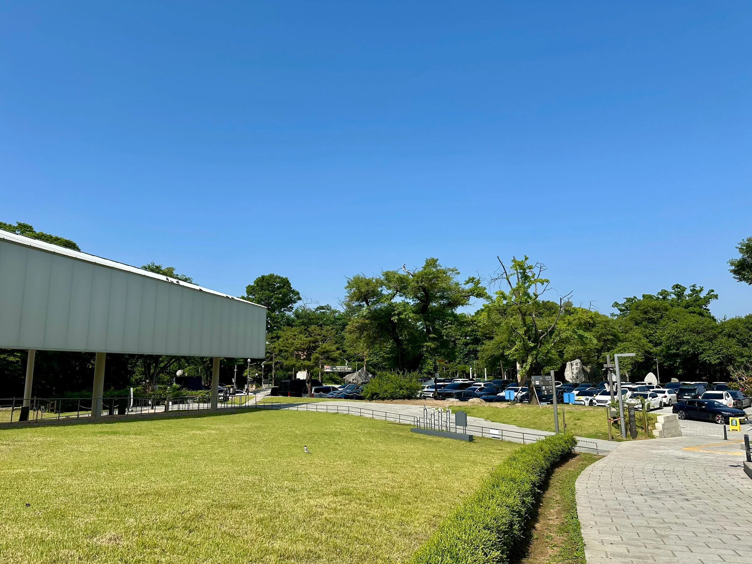
Meet at Namsan park
We meet at the Namsan park meeting point above the long station stairs, an open lawn with N Seoul Tower already in view. Free lockers and a small changing cabin are a minute away.
- 02
Drop down to the hill path
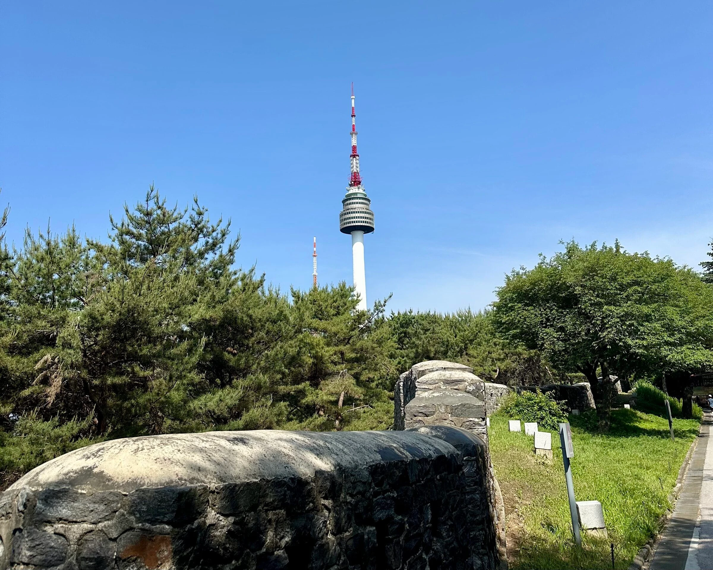
A short paved descent past a granite water fountain and the public restroom block, then stone stairs onto the foot-traffic-only hill road. The temperature drops a couple of degrees as the canopy closes overhead.
- 03
The 3.5 km hill loop
Out along the two-lane park road Korean runners use for hill training: steady rollers under heavy tree shade. Plenty of bathrooms off the trail, but water fountains are at the bookends, not the middle.
- 04
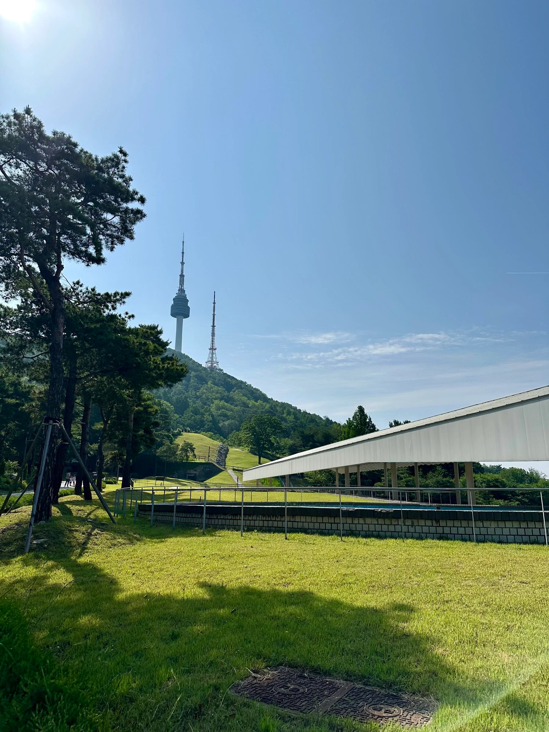
The fountain at the end of the hill
At the end of the hill road, a stainless water fountain and the decision point. Turn around here for the hill-only out-and-back, or keep going up to the tower for the full loop.
- 05
The climb to N Seoul Tower
A road shared with cars and city tour buses takes you the last ~200 m of climb to the tower. A springy pedestrian lane runs on the side, but mind the buses on the bends. At the top: viewpoints, the love locks, food, the photo island signage.
- 06
Back down the loop to the statue
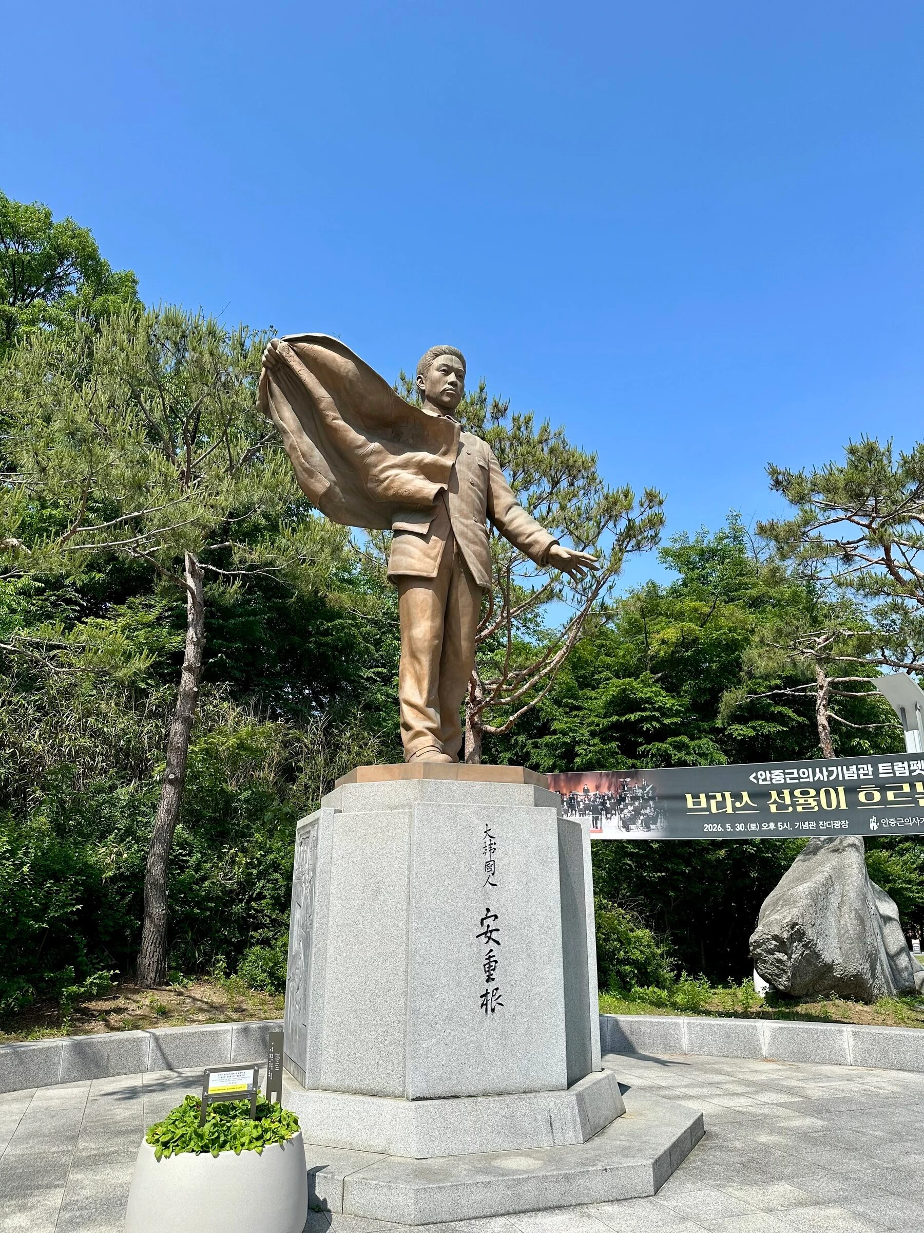
A one-way loop back down (watch your footing) and through the park to finish at the Ahn Jung-geun memorial statue, a couple of minutes from the meeting point.
Facts
Numbers, surfaces, fountains, toilets.
The things you actually want to know before you head out.
- Default distance
- 7.1 km full loop · 7.0 km hill-only out-and-back
- Elevation gain
- +232 m full loop · +175 m hill loop (rollers in both directions)
- Surface
- Paved park path + foot-traffic-only hill road + shared summit road
- Shade
- About 90% shaded. One of the few Seoul routes runnable through mid-morning in summer
- Water fountains
- Two near the meeting point, one at the end of the 3.5 km hill section. Little in between, so bring a bottle for laps.
- Toilets
- At the start, signposted blocks along the hill trail, more at the tower
- Lockers / changing
- Free lockers (keypad + key) and a small dressing cabin at the park entrance, first come first served
- Traffic exposure
- Hill section foot-traffic-only. Summit climb shared with cars and tour buses, separated pedestrian lane, stay alert on the bends.
- Transit
- Line 4 Myeongdong, Line 2 / Line 1 Seoul Station and City Hall all within ~10 min
When to run it
Best time, best season, the honest caveats.
Best time of day
Early morning before the buses start their summit runs and before the heat builds. 6 to 9 a.m. is the sweet spot for both pace and crowds. Late afternoon into evening also works because of how shaded the hill section stays.
Best seasons
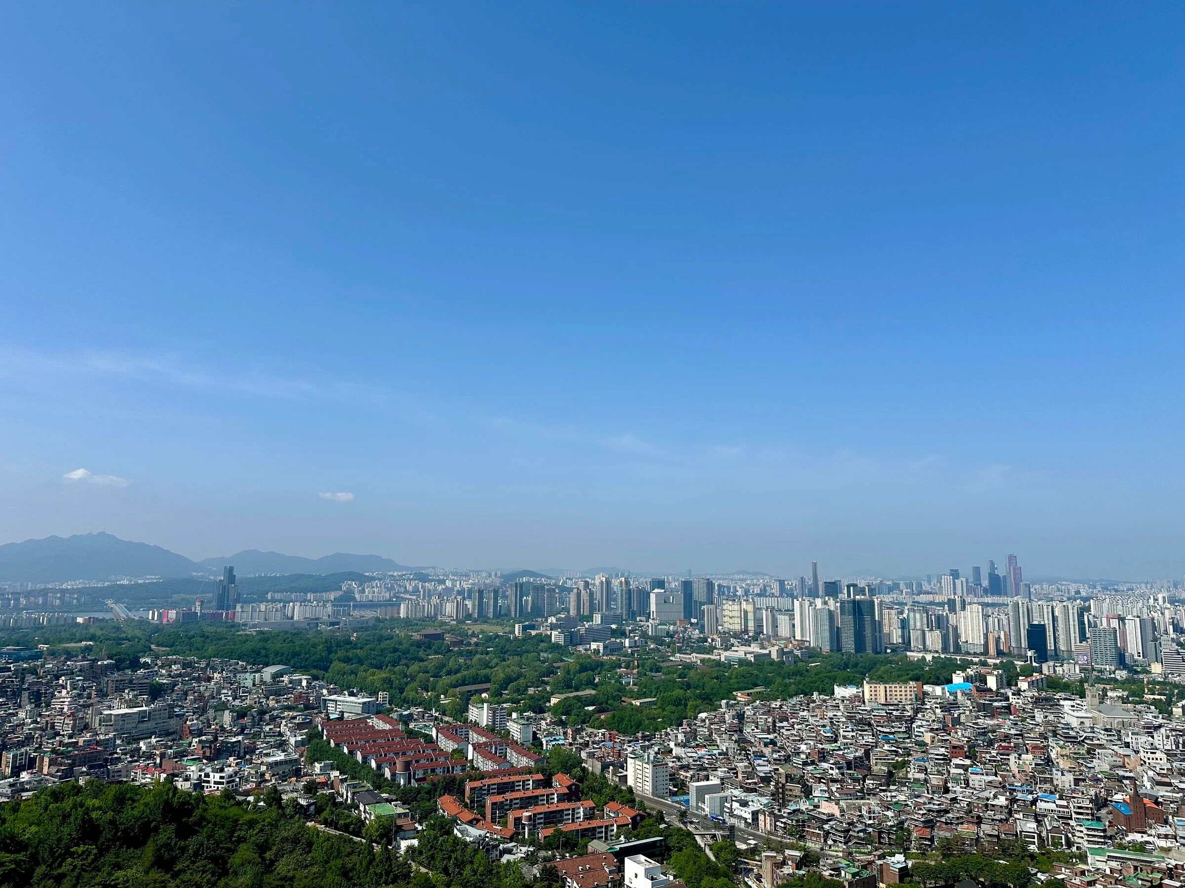
Spring (April–May) and autumn (October–November) for the cleanest air at the summit viewpoints. Summer is more runnable than people expect thanks to the canopy, and early-morning summer runs here are surprisingly comfortable.
Caveats and Plan B
- The summit road after the hill loop is shared with cars and Seoul City Tour buses. There is a separated pedestrian path, but mind the buses on tight bends.
- Run the summit loop in the route direction. The road is one-way and more comfortable with the flow of traffic.
- Water fountains cluster at the start and the end of the 3.5 km hill section. Carry a bottle if you are doing laps.
- The way down from the tower is steeper than the way up. Take care, especially after rain.
From me
If you have only run the Han River, this is the next route to try. It is where I send people who want hill training without leaving central Seoul: hard enough to be worth doing, not so hard that you spend the whole run thinking about it. The first time I ran the full loop to the tower, I stopped at the top, looked out, and immediately wanted to do it again.
· Quintin
Where we start
Namsan park meeting point (top of the long stone stairs)
Line 4 Myeongdong Exit 3 (10 min walk via the stairs), Line 2 / Line 1 Seoul Station or City Hall (15 min walk). The meeting point is the lawn above the long stone stair climb. N Seoul Tower is visible from it, so it is hard to miss.
FAQ
Quick answers.
-
Which variant should I pick?
First time, take the full 7 km loop: hill section, the climb to the tower, the full character of the route. If you only want hill training, the 7 km hill out-and-back gives you the rollers both ways and skips the summit climb. Great for stacking laps.
-
How hard is the hill section really?
Manageable. Steady rolling up-and-down for 3.5 km, not a single brutal climb, great if you have not done much hill work. The climb to the tower itself is the steeper part: about 200 m of vertical in 1 km.
-
Is it runnable in summer?
Yes, more than people expect. The hill section is about 90% shaded, so even in July and August an early-morning run is comfortable. Bring water: the fountains are at the bookends of the hill, not the middle.
-
What about lockers and changing?
Free first-come-first-served lockers (some keypad, some key) and a small dressing cabin for both men and women at the park entrance. Korea is also a place where people leave bags on a bench without worry. Your call.
-
Cars on the route?
The 3.5 km hill section is foot-traffic only. After that, the climb to the tower shares a road with cars and Seoul City Tour buses. There is a separated pedestrian lane, but the buses do swing wide on the bends.
Take it with you
GPX + interactive map coming with the full runner's guide.
Downloadable GPX, turn-by-turn cues, the elevation profile, and an interactive map land with the full guide. Until then, run it with me, I know every turn.
More Seoul routes
Where to run next.
Seoul City Wall Trail
The big one. The full 20 km loop of the old Seoul City Wall, over four mountains and past the great gates, the Blue House, DDP and N Seoul Tower. The most popular route in Seoul, and the real challenge is running all of it in one go.
- 20.2 km
- Hard
- ~3:00 running the full loop, longer with stops and a few wrong turns
Mangwon · Han River · Seonyudo
My home-ground route. Start in the city, jump into complete greenery, cross two bridges and end up on a hidden island park most Seoulites have never visited.
- 12.3 km
- Easy
- ~1:15 main loop
The Puppy Run
A loop through the historic heart of Seoul that draws a puppy on the map. Gwanghwamun Square, Gyeongbokgung, the Blue House, the palace-wall lanes and the Cheonggyecheon, all in one run.
- 8.7 km
- Easy
- ~1:10 at an easy pace